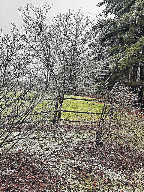
With the 43rd anniversary of The Great Blizzard of 1978 this week, the weather in Highland County is taking a turn on the roller coaster.
After moderate temperatures Tuesday, the rest of this week has multiple days in a row of possible rain or snow, multiple days in a row of sunny days and then more days of possible rain or snow, according to the Nate McGinnis, a meteorologist at the NWS location in Wilmington.
“We are now looking at this low-pressure being in the Northern Ohio area and it will soon be replaced by, actually, a cold front will move through tonight and then we’ll have a week of light snow events tomorrow afternoon into Wednesday night and then that’ll be replaced by surface low pressure for Thursday into Friday, and we kind of get a break from the wet weather before another weak, low pressure system moves into the region on Sunday, bringing another round of light precipitation Sunday night, Monday and again through the day on Tuesday,” said Nate McGinnis, a meteorologist at the NWS location in Wilmington.
He said the roller coaster weather is something Ohio residents know quite well.
“Typically during this time of year, it’s a very seasonal thing, it’s not really unusual, we just have the polar jet, which is further south due to the different seasons and the sun angle,” McGinnis said. “So, because of this, it allows colder air to interact with our region’s weather and that’s how we’re just, we’re able to get sort of these low pressures constantly moving through here, through the Ohio Valley, due to the polar jet and just kind of where we are situated, what we call the mid-latitudes of really just the weather pattern.
”So, a roller coaster in weather is kind of the usual thing around here because that’s just the way that it is for the Ohio Valley. This year, we’ve kind of avoided the big storms, you know. It’s been a while since we’ve had something, you know, super strong, and because of that, it kind of just felt like we’re in this weird little roller coaster of, you know, cloudy days, maybe a sunny day or two, and then it’s back to being cloudy again and these weak low pressures can sometimes remain around for days, and that’s what kind of keeps us in the cloudy weather.”
McGinnis said one way the NWS can see the weather and some of the patterns in it is the La Niña weather pattern. He said it is a phenomenon in the Pacific waters that can contribute to how storms form and how the storms track.
“I would say that we’re gonna see above-average precipitation, and typically when we’re in a pattern where we see above-average precipitation, you’re gonna see week after week after week of just, storm here, storm system there. I don’t really see a pause or any sort of like a whole week of dry weather,” he said. “I don’t really see that happening, at least into the first part of February. So, we’re gonna keep this kind of blocked into the next 10 to 14 days or so, and we’ll see what the second half of February has to offer. But, looks like we’ll just keep precipitation in the forecast for quite a while.
Reach Jacob Clary at 937-402-2570.


